The 'Pieterpad' trail is one of the longest hiking trails in the Netherlands. It was charted by Toos Goorhuis‑Tjalsma from Tilburg and Bertje Jens from Groningen between 1978 and 1983. The trail runs from Pieterburen in the north of the Netherlands to the Sint-Pietersberg in the south, crossing the provinces Groningen, Drenthe, Overijssel, Gelderland, (a small part of) Noord-Brabant and Limburg.
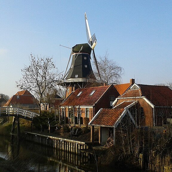
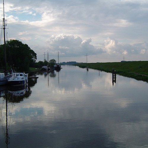
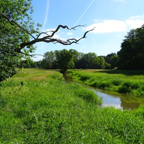
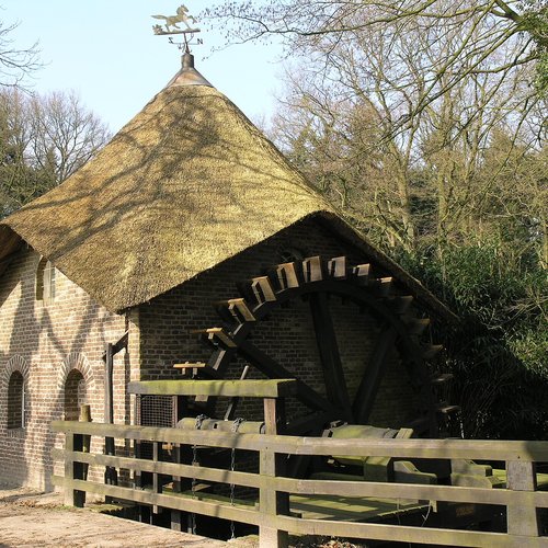
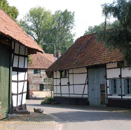
The landscape along the path is varied: you walk along river valleys, through forests, dunes and heathlands, and past farmland, villages, and small towns. Along the route you’ll encounter churches, mills, castles, dolmens, historic farmhouses, and other heritage sites.
Signage
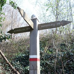
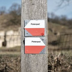
The Pieterpad trail is signposted with white and red markers:
Best time to hike
The Pieterpad can be hiked all year round, but some months are better than others. The summer months are busier than the winter months. There are also more walkers on the Pieterpad on weekends, because many people then hike individual stages. The below ratings are mainly based on typical weather conditions and the available hours of daylight.
Pieterpad in short
| Trail name | Pieterpad |
|---|---|
| Other name(s) | - |
| Trail identifier | LAW 9 |
| Website | https://www.pieterpad.nl/ |
| Distance | 505.5 km / 314.1 miles |
| Stages | 26 |
| Stage length | 12.1 – 24.8 km / 7.5 – 15.4 miles |


